No fire, no problem.
Pyros measures how much moisture vegetation has lost and shows it on a map of Croatia. Sentinel-2 passes overhead every 5 days.
Open the live mapNo one can predict the spark.
A fire can start from lightning, a cigarette butt, a barbecue, or a spark off a trimmer. That can't be predicted from vegetation alone. So Pyros doesn't try to guess where a fire will start. It shows where one would spread fastest.
Orebić
0,3 ha
The same class of lightning strike.
Korčula
900 ha
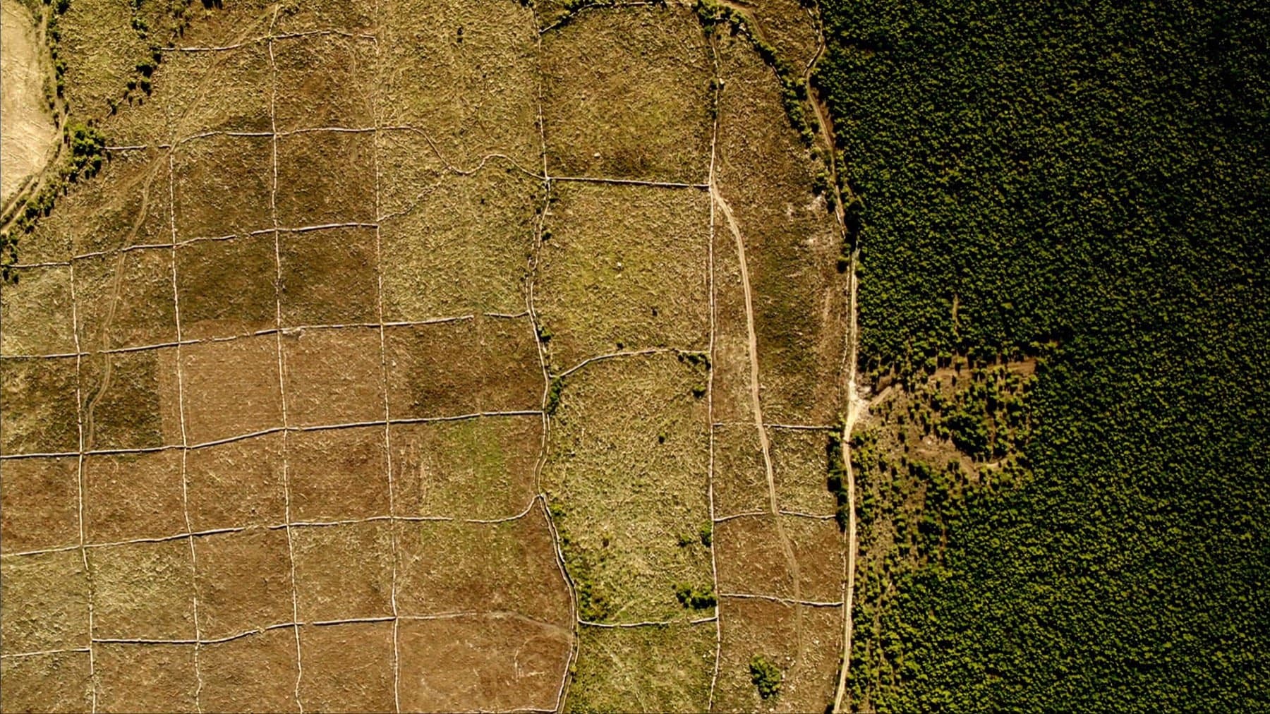
The difference was what was lying on the ground.
Source: EFFIS burnt-area perimeters.
A spark is random.
A cigarette, lightning, a spark off a brush cutter. Nobody knows where one lands, so we don't try to guess. These are the 0 large fires the European EFFIS database recorded in Croatia in 2026.
What works today, and what doesn't yet.
The map works. The model exists and has been tested against past fires, but it is not a service yet. The sensors are still being built.
Working today
Vegetation dryness map
Sentinel-2 passes over Croatia every five days and measures how much moisture plants have lost. The map is computed from the latest imagery.
Data that can be verified
We use public EFFIS burnt-area data from 2017 to 2025, Copernicus DEM, ERA5-Land weather data, and CORINE land cover. None of these sources need a commercial licence.
In development
Priority ranking
The model is trained on nearly 4,700 EFFIS fires and tested on seasons it never saw. The walkthrough above is that test. It is not a public service — it does not cover the whole country and it does not run live.
LoRa sensor nodes
Field nodes will measure soil moisture and microclimate to check satellite readings against ground truth. The parts list is done, but the network isn't deployed yet.
The map, live.
Colour shows how much moisture vegetation has lost relative to a healthy state. Zoom into your part of the coast. The map is computed from satellite imagery; no one enters values by hand.
Pyros, fuel map
- Brown
- Dry vegetation catches more easily and spreads fire faster.
- Green
- Still moist. Hard to burn.
The map is computed from the latest Sentinel-2 imagery, not stored samples.
Do you work in forestry or firefighting?
Tell us where the map is wrong and what you need in the field. We're looking for people in forestry and firefighting who can check it against reality.